
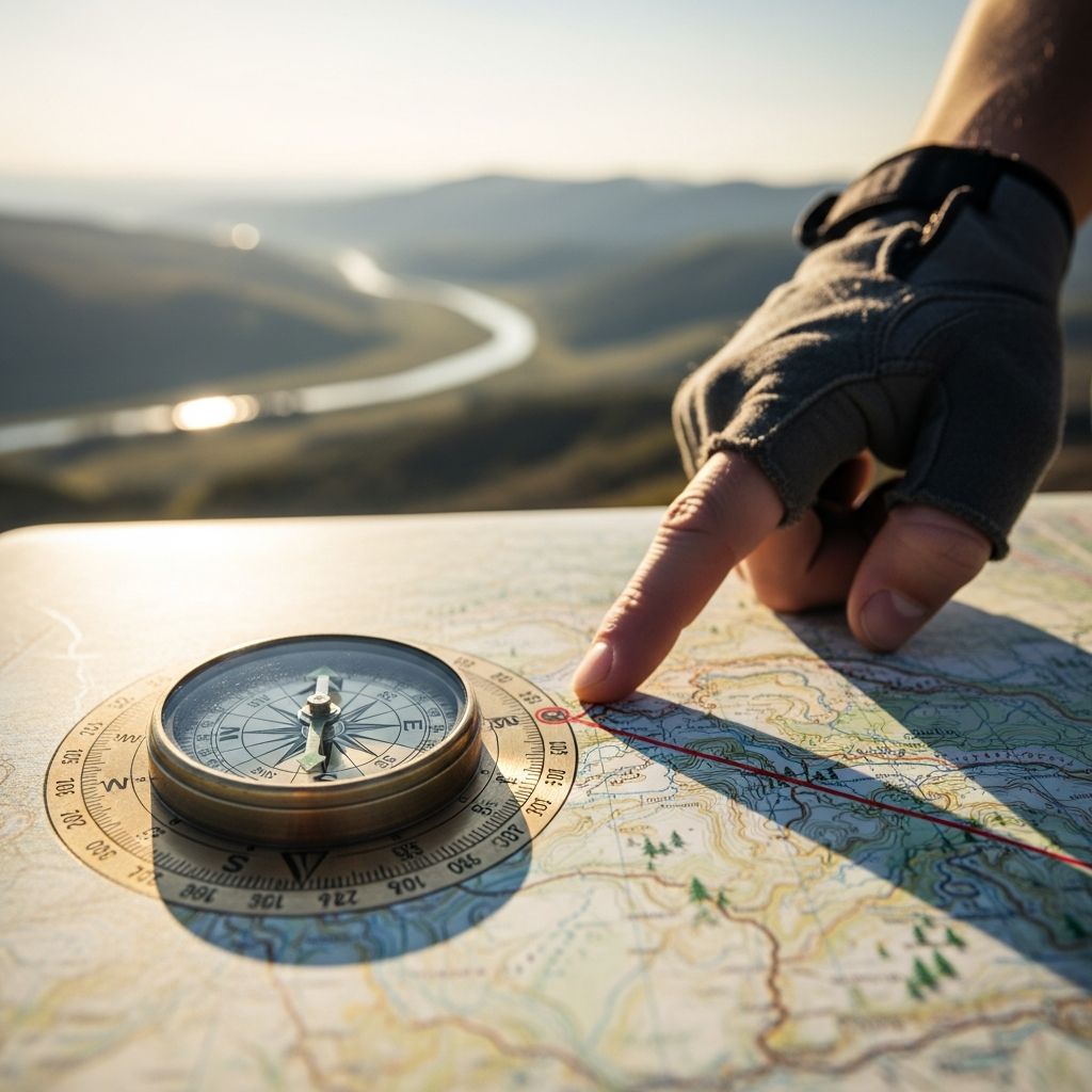
Understanding the Fundamentals of Effective Navigation
Finding your way through unfamiliar territory is a skill that transcends mere convenience—it fundamentally enhances your confidence, safety, and enjoyment of exploration. Whether traveling in urban environments, rural areas, or wilderness settings, the ability to maintain proper orientation prevents unnecessary stress and potential hazards. Modern travelers enjoy unprecedented access to navigation tools, yet fundamental wayfinding principles remain timeless. This comprehensive guide explores multiple strategies that work synergistically to keep you oriented regardless of your destination or circumstances.
Visual Reference Points: Building a Mental Map
The most intuitive navigation method involves training your attention to recognize distinctive visual features in your environment. Our brains naturally process and retain spatial information when we consciously observe our surroundings. Rather than passively moving through a location, actively engage with unique architectural elements, natural formations, or memorable structures that stand out. These visual anchors create mental waypoints that facilitate retracing your path or communicating directions to others.
Documentation strengthens memory retention for visual landmarks. Consider maintaining a small notebook where you record observations about buildings, street names, or distinctive locations you encounter. Alternatively, smartphone cameras provide instant documentation without requiring written notes. Photograph specific intersections, unusual storefronts, or scenic features that catch your attention. When giving directions to others, describe routes using these memorable elements rather than abstract measurements. Instead of instructing someone to “travel three kilometers and turn right at the intersection,” you might say, “continue until you pass the distinctive blue church on your left, then turn at the next available right toward the colorful marketplace.” This approach proves significantly more effective because visual information bypasses the cognitive challenges of distance estimation and directional precision.
Observing Movement Patterns and Human Flow
Urban environments contain inherent navigation clues through observation of human movement. During peak travel hours, residents and commuters move toward central transit hubs—bus terminals, train stations, and major thoroughfares. By positioning yourself within this human traffic flow, you leverage collective knowledge without requiring personal familiarity with the area. Information desks at transportation centers typically offer multilingual assistance and detailed location guides, providing systematic navigation support.
This strategy proves particularly valuable in international travel situations where language barriers might complicate asking for directions. Rather than struggling with unfamiliar language, simply observe where crowds concentrate and follow established pathways. The principle that “people know where they’re going” means following general movement patterns naturally leads toward populated, developed areas with better signage and navigation infrastructure. This passive navigation method requires minimal cognitive effort while maintaining relatively high success rates for reaching desired destinations.
Road Hierarchy and Infrastructure Navigation
Road systems follow logical hierarchies based on traffic capacity and regional importance. Major routes designed to handle substantial vehicle volume feature wider lanes, clearer markings, and more frequent signage than secondary streets. When disoriented, identifying and following the largest visible road almost invariably leads toward town centers or significant intersections where directional signage becomes more comprehensive. Road width directly correlates with traffic volume, which in turn indicates regional importance and destination significance.
This infrastructure-based approach provides objective decision-making criteria when uncertainty clouds directional judgment. Rather than guessing which path to follow when trails diverge, simply choose routes based on physical characteristics: wider roads, more visible markings, and greater infrastructure investment typically lead toward populated areas with better orientation markers. This method removes emotional decision-making from navigation and replaces it with observable physical principles that remain consistent across different regions and cultures.
Directional Instruments: Compass Technology
Compass tools—whether traditional magnetic instruments or smartphone applications—provide constant directional reference independent of landmarks or infrastructure. Before relying on compass navigation in unfamiliar territories, practice using these instruments in known locations where you can verify accuracy. Observe environmental features that indicate consistent directional orientation: satellite dishes on residential properties typically point toward the southwest, while church structures and cemetery headstones conventionally face eastward. These architectural patterns serve as calibration references when learning compass interpretation.
Upon arriving in unfamiliar locations, immediately establish your directional bearings using compass instruments. Continuously monitor directional alignment during navigation, checking your compass regularly to verify you’re maintaining intended direction. Should disorientation occur, your compass reading reveals the opposite bearing needed to return to familiar territory. This systematic approach removes ambiguity from recovery navigation, replacing uncertainty with mathematical precision. Even brief compass training dramatically improves navigation confidence and reduces anxiety when temporarily losing directional awareness.
Celestial and Natural Navigation Indicators
Natural phenomena provide reliable directional information when technological tools fail or become unavailable. During clear nighttime conditions, the North Star consistently indicates true north, providing orientation reference for those familiar with stellar navigation. If you established your directional bearing upon arrival at your destination, the North Star enables reverse-bearing navigation back toward your origin point regardless of terrestrial landmarks.
Daytime natural navigation employs shadow movement as a directional indicator. By inserting a stick vertically into the ground and marking the shadow’s endpoint, then observing the shadow’s movement after a short interval, you establish an east-west directional line. This ancient navigation principle requires no equipment beyond objects found in most environments. While less precise than modern instruments, natural navigation ensures you maintain directional awareness even in remote areas where technological infrastructure fails. Understanding these fundamental principles transforms you from navigation-dependent travelers into adaptable navigators capable of maintaining orientation under diverse circumstances.
Map-Based Navigation Fundamentals
Physical maps provide navigation capacity in locations where cellular signals fail or electronic devices lose power. Carry detailed maps of unfamiliar regions whenever traveling to new territories, storing them in accessible locations where weather damage becomes unlikely. Digital map applications on smartphones offer convenience and searchability, yet physical maps ensure navigation capability regardless of device functionality. The combination of both formats provides redundancy—if one method fails, alternatives remain available.
Effective map navigation requires understanding basic cartographic principles: identifying your location, determining your destination, and understanding the direction and distance between these points. Orient maps according to actual geography rather than holding them arbitrarily, which dramatically improves spatial comprehension and decision-making quality. Practice map interpretation before traveling to unfamiliar locations, studying routes in advance so you understand the general geography and major navigation choice points before arrival. This preparation significantly reduces stress during actual navigation and improves decision accuracy when choices present themselves.
Satellite Positioning Technology
Global Positioning System devices, commonly called GPS or satnavs, provide precise location identification and navigation guidance when satellite connections remain available. These tools prove invaluable for extensive traveling, particularly in regions with poor landmark infrastructure or confusing street layouts. Modern GPS units mount securely on vehicle windshields for driving navigation, while portable versions suit pedestrian wayfinding. Wristwatch-integrated GPS devices enable hands-free navigation suitable for hiking, walking, or other movement activities.
GPS technology supplements rather than replaces other navigation methods. Device batteries deplete, satellite connections occasionally fail, and over-reliance on electronic navigation eliminates skill development necessary for situations where technology becomes unavailable. Treat GPS as one component within a comprehensive navigation strategy that includes maps, landmarks, directional instruments, and natural indicators. This balanced approach ensures navigation capability regardless of which specific tools remain functional at any given moment.
Language and Cultural Navigation Preparation
International travel introduces language barriers that complicate navigation when written signs become incomprehensible and verbal directions prove impossible to understand. Before traveling to foreign countries, invest time learning basic phrases for requesting directions and understanding directional responses. Identify words that frequently appear on road and street signs in your destination country, studying their meanings before arrival. This linguistic preparation dramatically improves your ability to comprehend environmental information and engage with local residents who might offer assistance.
When language barriers completely prevent communication, hotels provide reliable resources for navigation assistance. Hotel staff typically speak English or your native language and maintain extensive knowledge about local geography, attractions, and transportation options. Simply visiting or telephoning nearby hotels enables you to obtain detailed directions, maps, and transportation recommendations from people specifically trained in assisting travelers. This approach acknowledges language limitations while effectively accessing reliable navigation resources available in most populated areas worldwide.
Integrated Navigation Strategy Comparison
| Navigation Method | Best Use Case | Advantages | Limitations |
|---|---|---|---|
| Visual Landmarks | Urban navigation, familiar routes | No equipment needed, intuitive, builds spatial memory | Requires distinctive features, ineffective in uniform areas |
| Following Traffic Flow | International travel, language barriers | Requires no communication, naturally leads to populated areas | May not reach specific destinations, time-consuming |
| Road Infrastructure | General orientation, initial disorientation recovery | Objective physical criteria, universally applicable | Leads to general areas, not specific locations |
| Compass Navigation | Remote areas, backup navigation method | Independent of infrastructure, provides absolute direction | Requires training, unsuitable for following specific routes |
| Natural Indicators | Emergency situations, wilderness navigation | No equipment needed, always available | Less precise, weather dependent, requires expertise |
| Physical Maps | Detailed route planning, backup navigation | No battery depletion, independent of signals | Requires interpretation skills, bulkier than digital alternatives |
| GPS Devices | Precise navigation in complex areas | Highly accurate, detailed route guidance | Battery dependent, requires satellite connection |
Practical Implementation for Different Scenarios
Effective navigation adaptation depends on recognizing your specific situation and selecting appropriate methods. Urban navigation typically combines visual landmarks with infrastructure observation, supported by digital maps on smartphones. International travel benefits from human flow observation, cultural preparation, and hotel staff resources. Wilderness activities require compass competency, physical maps, natural indicators, and predetermined bailout routes established before departure.
Regardless of scenario, successful navigation combines multiple methods to create redundancy. Should one technique fail or prove ineffective, alternative approaches remain available. This layered strategy acknowledges that no single navigation method suits all situations, and overreliance on any single approach creates vulnerability. By developing competency across multiple navigation domains, you become adaptable and confident regardless of circumstances, equipment availability, or environmental conditions.
Frequently Asked Questions
Q: What should I do if I realize I’m lost?
A: Stop moving immediately, remain calm, and assess available navigation resources. Identify the largest nearby road to navigate toward populated areas, use compass instruments to determine direction, consult available maps, or call emergency services. Backtracking to the last point where you felt certain of your location often proves most effective.
Q: How can I improve my natural navigation skills?
A: Practice compass use in familiar locations where you can verify accuracy against known geography. Study maps of areas you frequent regularly. Observe environmental features indicating directional patterns. Attempt short navigation exercises without electronic devices to build confidence and competency with traditional methods.
Q: Is GPS navigation sufficient for all situations?
A: No. GPS devices experience battery depletion, satellite connection failures, and occasional signal loss in dense urban or wilderness areas. Complementing GPS with maps, compass skills, and landmark observation ensures navigation capability regardless of technology availability or functionality.
Q: What navigation resources should I carry when traveling?
A: Carry both physical maps and smartphone map applications with offline capability enabled. Include a compass or compass app. Note emergency phone numbers. Learn basic directional vocabulary in languages spoken at your destination. Maintain information about hotel locations in case you need navigation assistance.
Q: How do I communicate directions effectively to others?
A: Use distinctive landmarks rather than distance measurements or turn angles. Describe visible features others will encounter: “Continue past the red building with the clock, then turn left at the blue awning.” This method proves more memorable and accurate than abstract directional information.
References
- How to Avoid Being Lost in Wilderness — Wilderness Society. 2024. https://wilderness-society.org/how-to-avoid-being-lost-in-wilderness/
- How to Not Get Lost in The Woods For Beginners — The Nature Seeker. 2024. https://thenatureseeker.com/how-to-not-get-lost-in-the-woods/
- How NOT to Get Lost in the Woods: Navigation 5 Top Tips — Wilderness Scotland. 2024. https://wildernessscotland.com/blog/how-not-to-get-lost-in-the-woods-navigation-5-top-tips/
- 5 Ways to NOT Get Lost When Hiking & Backpacking — The Hungry Hiker. 2023. https://www.the-hungry-hiker.com/2023/11/20/5-ways-to-not-get-lost-when-hiking-backpacking/
- Practical Survival Skills: How to Prevent Getting Lost — YouTube (Randy Newberg). 2024. https://www.youtube.com/watch?v=hVlQVx-V-Gw

Medha Deb is an editor with a master's degree in Applied Linguistics from the University of Hyderabad. She believes that her qualification has helped her develop a deep understanding of language and its application in various contexts. Medha specializes in the areas of beauty, health, sports, and wellness and is committed to ensuring that the content on the website is…