
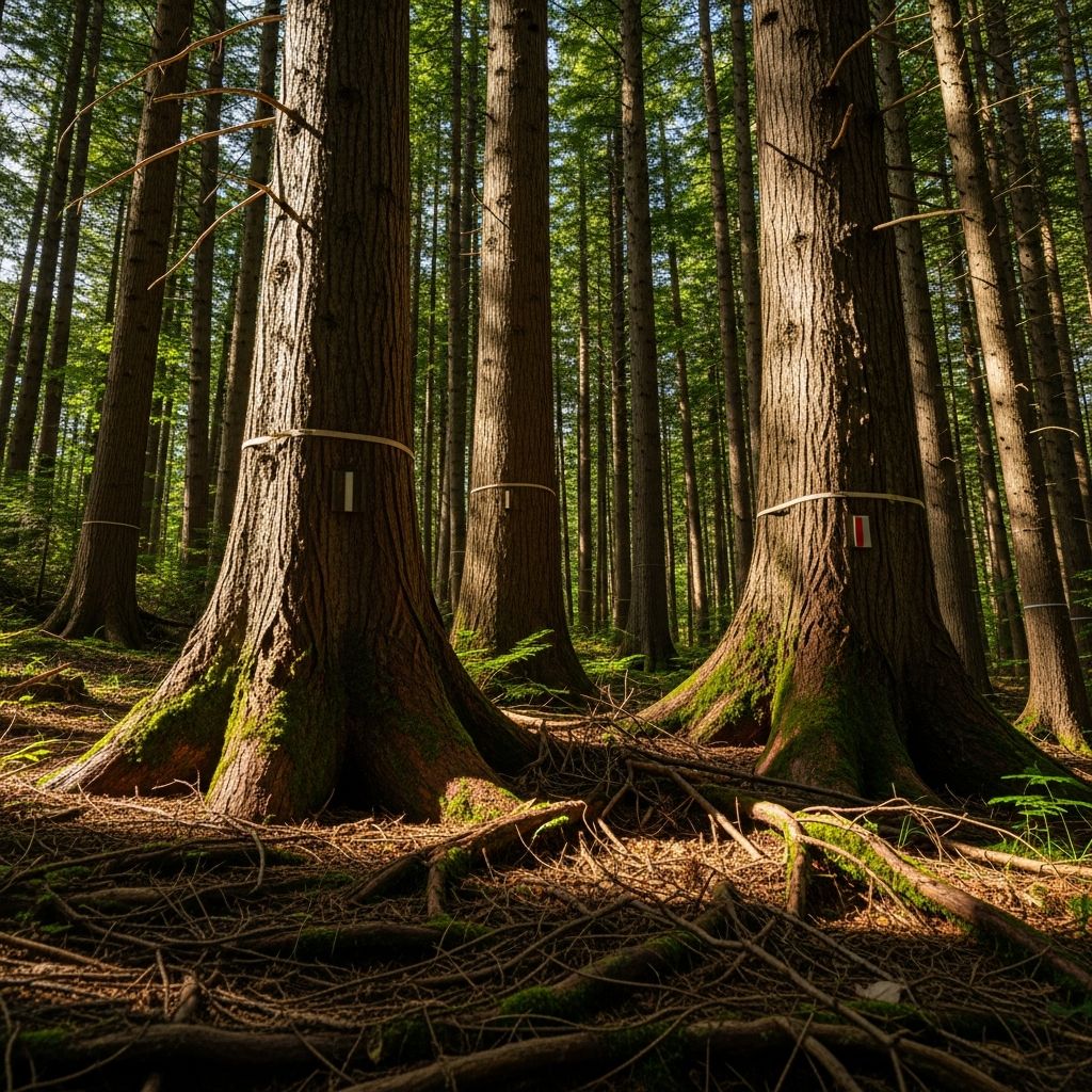
Tree basal area serves as a fundamental metric in forestry, quantifying the cross-sectional space occupied by tree stems at a standard height above the ground. This measure provides critical insights into forest density, growth potential, and management needs, helping professionals and landowners optimize woodland health and productivity.
Defining Basal Area in Forestry Contexts
At its core, basal area represents the total cross-sectional area of all tree trunks in a given land unit, typically expressed in square feet per acre. Measured at breast height—defined as 4.5 feet above the ground on the uphill side of the tree—this metric captures the physical footprint of tree stems, offering a reliable indicator of how much growing space is utilized.
Unlike simple tree counts, which ignore size variations, basal area accounts for both the number and diameter of trees, making it a superior gauge of stand stocking. For instance, a dense stand of small trees might equal the basal area of fewer large ones, but the implications for timber volume and habitat differ significantly.
- Key advantages: Correlates strongly with total stem volume and canopy coverage.
- Common units: Square feet per acre (imperial) or square meters per hectare (metric).
- Applications: Timber harvesting decisions, wildlife habitat assessment, and thinning prescriptions.
Understanding Diameter at Breast Height (DBH)
Central to basal area calculations is DBH, the outside-bark diameter of a tree stem taken at 4.5 feet from the ground. This standardized height ensures consistency across uneven terrain and varying tree forms.
Foresters measure DBH using calipers or diameter tapes, rounding to the nearest inch for practicality. On leaning trees, the measurement occurs from the uphill side to maintain uniformity. DBH directly influences a tree’s basal area contribution, as larger diameters yield exponentially more space.
| DBH (inches) | Basal Area per Tree (sq ft) |
|---|---|
| 6 | 0.20 |
| 10 | 0.55 |
| 14 | 1.07 |
| 18 | 1.77 |
| 22 | 2.66 |
This table illustrates basal area per tree based on the formula, highlighting how a 14-inch DBH tree occupies over five times the space of a 6-inch one.
The Mathematical Foundation of Basal Area
Basal area for a single tree derives from the circle area formula: \( A = \pi r^2 \), where radius \( r = \frac{DBH}{2} \). Converting to square feet yields the forester’s constant: Basal Area = 0.005454 × (DBH)^2.
For an entire stand, sum individual tree basal areas and divide by the plot area (e.g., expand from a subsample to per-acre values). Imagine felling all trees at DBH across one acre (43,560 sq ft); the aggregate stump surface area equals the basal area.
In metric systems, the formula adjusts to \( BA = \frac{\pi (DBH_{cm})^2}{4 \times 10,000} \) m² per tree, scaled to hectares.
Practical Tools for Field Measurement
Direct measurement—calipering every tree—is labor-intensive for large areas. Instead, foresters employ variable radius sampling with tools like wedge prisms or angle gauges.
A 10-factor wedge prism, a calibrated glass wedge, simplifies counts: Stand at a point, hold at eye level (about 4.5 ft), and rotate 360 degrees. Count trees whose DBH appears equal to or larger than the prism offset—these ‘in’ trees represent 10 sq ft of basal area each. Multiply count by factor for the total.
- Prism types: Clear or yellow tinted; personal preference dictates choice.
- Angle gauges: Handheld devices mimicking prism angles without magnification.
- Accuracy tips: Hold prism correctly vertical; borderline trees average ‘in’ and ‘out’ over multiple points.
Fixed-area plots (e.g., 1/10-acre circles) offer alternatives: Measure all DBH within, compute sums, and expand mathematically.
Interpreting Basal Area Levels for Management
Basal area thresholds guide silvicultural decisions. Timber production stands thrive at 80-120 sq ft/acre, balancing growth and competition.
| Forest Type/Goal | Ideal Basal Area (sq ft/acre) | Management Action |
|---|---|---|
| Pine Sawtimber | 90-110 | Maintain or thin lightly |
| Mixed Hardwoods | 70-100 | Selective thinning |
| Wildlife Habitat | 40-70 | Promote understory via reduction |
| Dense Regeneration | >120 | Aggressive thinning needed |
Stands exceeding 100 sq ft often feature closed canopies, suppressed undergrowth, and heightened disease risk—prime for thinning to 60-70 sq ft, fostering diameter growth.
For quail habitat, lower levels (40-60) enhance forage and cover diversity.
Applications in Timber and Wildlife Management
Basal area informs harvest planning: Pre-commercial thinnings reduce competition early; commercial thinnings at 90-100 sq ft target merchantable stems.
In wildlife contexts, it predicts habitat quality—high basal area suits cavity-nesters but limits ground-foraging species. Adjust via targeted removals.
Track changes over time: Post-thinning basal area rises slowly as residuals expand, informing rotation lengths (e.g., 25-35 years for pines).
Common Challenges and Best Practices
Challenges include multi-stem trees (measure largest), species-specific growth rates, and terrain variability. Best practices: Multiple sample points for precision, calibrate tools annually, integrate with volume tables.
Software and apps now aid computations, but field validation remains essential.
Frequently Asked Questions
What is the difference between tree basal area and stand basal area?
Tree basal area measures one stem’s cross-section at DBH; stand basal area aggregates this across all trees per unit area, like per acre.
How often should I measure basal area in my woodland?
Every 3-5 years for active management, or pre/post-harvest to assess impacts.
Can basal area predict timber volume?
Yes, it strongly correlates with volume; site-specific tables convert basal area to board feet or cords.
What if my stand exceeds ideal basal area?
Thin selectively, prioritizing poor-quality trees to redirect resources to crop stems.
Is basal area useful for all forest types?
Primarily even-aged stands; adapt for uneven-aged via species-specific targets.
Advanced Uses and Future Directions
Beyond basics, basal area factors into carbon stock estimates, fire risk models, and climate adaptation strategies. Remote sensing (LiDAR) promises efficient large-scale mapping, complementing ground truths.
Integrate with other metrics—trees per acre, quadratic mean diameter—for holistic assessments. Training via extension services ensures accurate application.
References
- Basal Area: What It Means and How to Measure It — Clemson University Blogs. 2024-04-22. https://blogs.clemson.edu/fnr/2024/04/22/basal-area-what-it-means-and-how-to-measure-it/
- Calculating basal area — YouTube (Transcript). N/A. https://www.youtube.com/watch?v=he6rpCpFaas
- Basal Area: A Measure Made for Management — Alabama Cooperative Extension System. N/A. https://www.aces.edu/blog/topics/forestry/basal-area-a-measure-made-for-management/
- BA — What in the world is basal area? — Louisiana Forestry. N/A. https://www.laforestry.com/single-post/ba-what-in-the-world-is-basal-area
- Making Sense of ‘Basal Area’ — National Bobwhite & Grassland Initiative. 2017-03-09. https://nbgi.org/2017/03/09/making-sense-of-basal-area/
- Basal Area: What it is, how to measure, and how to manage — Quail Forever. N/A. https://quailforever.org/BlogLanding/Blogs/Quail-Forever/Basal-Area-What-it-is,-how-to-measure,-and-how-to-manage.aspx
- Making and Using Measurement Tools – Basal Area — Wisconsin DNR. N/A. https://dnr.wisconsin.gov/sites/default/files/topic/ForestManagement/MNManagingWater_12-Basal-Area.pdf

- Integrated M.A. in Applied Linguistics, University of Hyderabad
- 5+ years in editorial, instructional, SEO, and research-based writing
Sneha is a relationships and lifestyle writer with a strong foundation in applied linguistics and certified training in relationship coaching. She brings over five years of writing experience to theskillvault, crafting thoughtful, research-driven content that empowers readers to build healthier relationships, boost emotional well-being, and embrace holistic living. Her writing and insights reflect the belief that beauty, happiness, and wellness…