
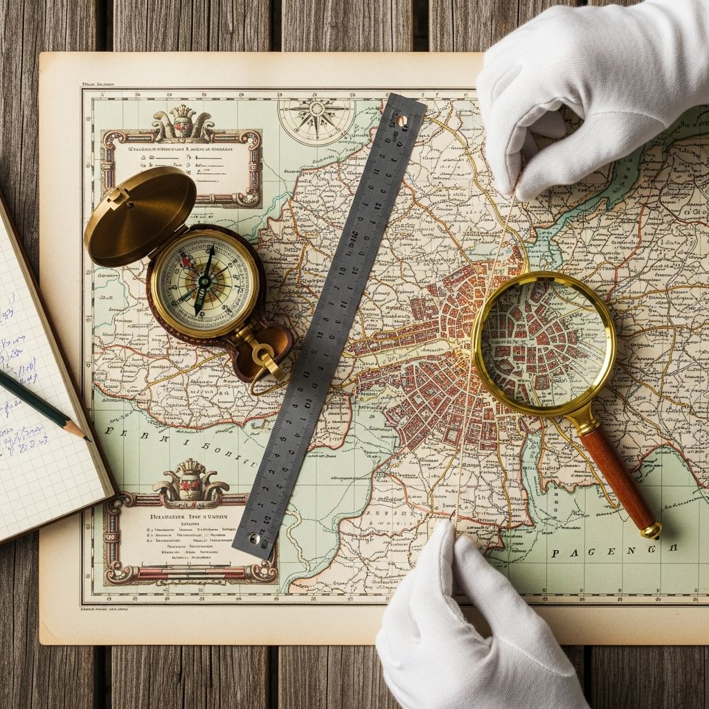
Understanding Map Fundamentals Before Measurement
When working with any map, the foundation of accurate distance determination lies in comprehending the relationship between what you see on paper and what exists in the physical world. Every map includes a scaling system that establishes this critical relationship. Without understanding how your map represents reality, any measurement you take will be meaningless. The scale functions as a translator, converting the compressed representation on your map into actual ground distances.
Maps come in various types and scales depending on their purpose. A detailed street map of a city uses a much larger scale than a map showing an entire country or continent. Before attempting any measurement, you must identify which scale your particular map employs. This information typically appears at the bottom or corner of the map and presents the ratio between map distance and real-world distance.
Locating and Interpreting Your Map’s Scale
The scale of a map is your most essential tool for converting measurements into meaningful distances. Most maps display their scale in one or more formats to accommodate different preferences and skill levels. The numerical ratio format, such as 1:50,000, indicates that one unit on the map represents 50,000 of those same units in reality. Another common format shows a graphic scale bar with actual distances marked on it.
Graphic scale bars are particularly useful because they eliminate the need for mathematical calculations. You can physically compare your measured distance to the printed scale bar and read off the answer directly. However, understanding how to work with numerical scales provides flexibility when dealing with maps that only include ratio notation.
Some maps helpfully convert their scale into more intuitive statements such as “1 inch equals 1 mile” or “2 centimeters equals 1 kilometer.” This conversion makes estimation much more straightforward for those who find pure ratios confusing. Always take a moment when first examining a map to locate and understand which scale format it uses.
Traditional Measurement Using Basic Tools
The most accessible method for measuring map distances requires only simple tools that you likely already possess. A ruler represents the most straightforward approach for measuring straight-line distances between two points. Place the ruler along the line connecting your starting point and destination, mark the distance, and compare this measurement to your map’s scale.
For routes that don’t follow a straight line, string or thin rope becomes invaluable. Lay the string along the winding route you wish to measure, following every curve and turn. Hold it in place with your fingers or small weights if needed. Once you’ve traced the entire route, carefully straighten the string and measure its length with a ruler. This measurement can then be compared to your map’s scale to determine the actual distance covered.
Improvisation is not only acceptable but often necessary in field conditions. A pencil, a piece of cord, your finger width, or even a twig can serve as a measuring device when a formal ruler isn’t available. The key principle remains constant: establish a reference distance on the map, then use your impromptu tool to mark that same distance on the scale bar for comparison.
Step-by-Step Process for Straight Distances
- Position your ruler between the two points you’re measuring
- Note the distance measurement in centimeters or inches
- Locate your map’s scale bar or numerical scale
- Compare your ruler measurement to the scale
- Read the equivalent real-world distance directly from the scale
Step-by-Step Process for Curved Routes
- Take a piece of string of adequate length
- Position it along your entire intended route
- Hold it steady at key points where the route changes direction
- Once the entire route is covered, mark the endpoint on the string
- Straighten the string and measure it with a ruler
- Compare this measurement to your map’s scale bar
Mathematical Calculations for Scale Conversion
Situations arise where you cannot directly compare your measurement to a printed scale bar. Perhaps your map lacks a scale bar, or you’ve folded it away in a map case. In these circumstances, mathematical conversion becomes necessary. The process is straightforward once you understand the relationship between your measured distance and the map’s scale ratio.
When working with a numerical scale such as 1:25,000, this means that every unit of measurement on the map represents 25,000 of those same units in reality. If you’ve measured 4 centimeters on the map, you multiply this by 25,000 to get 100,000 centimeters. Converting to more practical units requires dividing by 100 for meters or by 1,000 for kilometers. In this example, 100,000 centimeters equals 1 kilometer.
| Map Scale | Measured Distance | Real-World Distance (km) | Calculation Method |
|---|---|---|---|
| 1:25,000 | 8.5 cm | 2.125 km | Quarter the centimeter value |
| 1:50,000 | 12.8 cm | 6.4 km | Divide the centimeter value by two |
| 1:100,000 | 5 cm | 5 km | Convert directly without adjustment |
Quick Conversion Shortcuts
Professional navigators often memorize simplified conversion methods for the most common map scales. For a 1:25,000 scale map, divide your measured centimeters by four to obtain kilometers. For a 1:50,000 scale map, divide by two. These mental shortcuts eliminate the need for calculators during field operations when speed matters and precision to two decimal places suffices.
When greater accuracy becomes necessary—particularly in poor visibility conditions or terrain with minimal landmarks—performing the full calculation ensures minimal error accumulation. However, for general navigation purposes, estimating by recognizing that your measured distance is “a bit more than” or “about half” of a reference distance often provides sufficient accuracy.
Specialized Measuring Instruments
Professionals who regularly work with maps often employ specialized tools that streamline the measurement process. A romer is essentially a ruler pre-scaled to match specific map scales. Instead of measuring in centimeters and then performing conversion calculations, you simply read the distance directly from the romer’s calibrated markings. This tool eliminates both mathematical computation and the need to reference a separate scale bar.
Map measurers represent another category of specialized instrument. These mechanical or electronic devices feature a small wheel that you roll along your intended route. As the wheel rotates, it converts the distance traveled into actual ground distance based on the scale setting you input. Electronic versions display the result digitally, often in multiple unit options simultaneously. Like romers, map measurers require careful attention to ensure you’re using the correct scale setting for your particular map.
Grid-Based Distance Estimation
Maps often include a coordinate grid system with evenly-spaced lines running horizontally and vertically. These grids provide a quick reference system for distance estimation, particularly when you need an approximate answer rapidly. On a 1:25,000 scale map, the grid squares typically represent 1-kilometer intervals. Counting the number of squares your route crosses offers a rough distance estimate without requiring any measuring instruments.
When your route travels diagonally across grid squares rather than along their edges, the distance increases. A diagonal crossing of a single square on a 1:25,000 map represents approximately 1.5 kilometers rather than the 1 kilometer of a straight-line crossing. This relationship holds consistent regardless of the specific map scale, making it a reliable mental calculation tool for field navigation.
Grid-based estimation works best for rough calculations when precision beyond the nearest quarter-kilometer isn’t required. For more detailed route planning or when accuracy matters significantly, combine grid estimation with one of the more precise measurement methods described above.
Digital Tools and Online Mapping Applications
Modern technology has revolutionized distance measurement on maps. Web-based mapping applications allow users to measure distances by simply clicking points on an interactive map. The application instantly calculates and displays the distance between your selected points, eliminating manual measurement entirely. These tools typically allow measurement in multiple unit systems—kilometers, miles, nautical miles, and yards—providing flexibility for different needs and preferences.
The process for using online distance calculators involves zooming to your area of interest, clicking your starting point, then clicking each subsequent point along your route. The application continuously updates the total distance as you add points. Most platforms offer additional features such as marker visibility toggling, automatic map panning as you add points, and the ability to clear individual points or restart completely.
Mobile applications extend these capabilities to smartphones and tablets, enabling distance measurement anywhere you have a data connection. Some applications include advanced features like importing and exporting various file formats, saving multiple measurement sessions, and editing coordinates manually. These tools prove particularly valuable for hikers, cyclists, runners, and other travelers who need real-time distance information during their activities.
Key Advantages of Digital Measurement Tools
- Instant calculations without manual mathematics
- Support for multiple unit systems simultaneously
- Ability to measure curved routes with automatic line-following
- Satellite imagery and street-level views for reference
- Historical data storage and measurement comparison
- GPS integration for real-time position tracking
- Export capabilities for route sharing and planning
Practical Considerations for Accurate Measurements
Successful distance measurement requires attention to several practical factors beyond simply applying a formula or using a tool. The paper surface on which your map is printed can affect measurement accuracy, particularly if the map has been folded repeatedly or stored in conditions causing slight warping. Always work on a flat surface when possible, and be aware that heavily folded maps may show minor distortions at the crease points.
The condition of your measuring tools matters significantly. A bent ruler may not provide accurate readings, and a worn string may have stretched or frayed. Using damaged or compromised tools introduces systematic error into your measurements. Similarly, ensure that electronic measurement devices have been recently calibrated if your application demands high precision.
Environmental conditions can impact measurement accuracy in field situations. Extreme heat may cause map paper to expand slightly, while cold can cause contraction. Wind, rain, or limited visibility may make precise ruler placement difficult. Whenever possible, take time to establish stable working conditions for your measurements, even if this means waiting for better weather or finding shelter to work.
Common Measurement Scenarios and Solutions
Measuring Hiking Trail Distances
Hiking applications often require knowing the total distance of a trail before beginning. Since trails rarely follow straight lines, the string method or digital tools prove most effective. Mark your starting and ending points on the map, then use your chosen measurement method to trace the entire trail length. Remember that measured distance doesn’t account for elevation changes, which can make actual hiking distance feel longer than the horizontal measurement suggests.
Calculating Driving Distances
Road routes typically follow established routes that may wind considerably. Digital mapping tools designed specifically for navigation provide the most accurate driving distance calculations because they account for actual road networks. Manual measurement on paper maps gives approximations useful for trip planning but may not reflect actual driving routes available on the ground.
Determining Property Boundaries
Real estate and surveying applications demand high precision. Professional instruments like romers or calibrated map measurers prove essential. When dealing with legal property boundaries, working from official survey maps with clearly marked scales ensures measurements meet required accuracy standards.
Frequently Asked Questions
Q: What is the difference between a map scale and a map projection?
A: Scale refers to the ratio between map distance and real-world distance, while projection describes how three-dimensional Earth features are represented on a two-dimensional map surface. Both affect measurement accuracy, but scale is the primary tool for converting measured distances to real-world equivalents.
Q: Can I measure distances accurately on maps printed from internet sources?
A: Accuracy depends on whether the printed map maintains its scale. Maps that have been enlarged or reduced during printing will have altered scales. Always verify the scale on your printed map against the original source to ensure measurement accuracy.
Q: How precise do my measurements need to be for general navigation?
A: For general navigation, precision within 10-15% is typically sufficient. Field conditions rarely allow perfect measurement precision, and navigation planning usually doesn’t require such accuracy. Professional surveying or legal applications demand much higher precision levels.
Q: What should I do if my map shows multiple scales?
A: Use the scale that matches your immediate needs. Larger-scale maps (showing smaller areas in greater detail) provide more precise local measurements, while smaller-scale maps (showing larger regions) work better for longer-distance planning.
Q: Are digital measurements more accurate than physical measurements?
A: Digital tools eliminate manual measurement error and provide consistent precision. However, both methods depend on accurate underlying map data. Digital tools generally offer superior accuracy for most applications, particularly for long distances or complex routes.
References
- A Beginner’s Guide to Measuring Distance on a Map — Ordnance Survey Maps. 2024. https://osmaps.com/discover/guides/beginners-guide-to-measuring-distance-on-a-map/
- Measure distance between points – Computer — Google Maps Help. 2025. https://support.google.com/maps/answer/1628031
- Measure distance between points – Android — Google Maps Help. 2025. https://support.google.com/maps/answer/1628031
- Geography mapwork: How to calculate distance on the map — Educational Resources. 2023. https://www.youtube.com/watch?v=-Fl5Nf1Pda8
- Map Distance Calculator — CalcMaps. 2025. https://www.calcmaps.com/map-distance/

- Integrated M.A. in Applied Linguistics, University of Hyderabad
- 5+ years in editorial, instructional, SEO, and research-based writing
Sneha is a relationships and lifestyle writer with a strong foundation in applied linguistics and certified training in relationship coaching. She brings over five years of writing experience to theskillvault, crafting thoughtful, research-driven content that empowers readers to build healthier relationships, boost emotional well-being, and embrace holistic living. Her writing and insights reflect the belief that beauty, happiness, and wellness…