
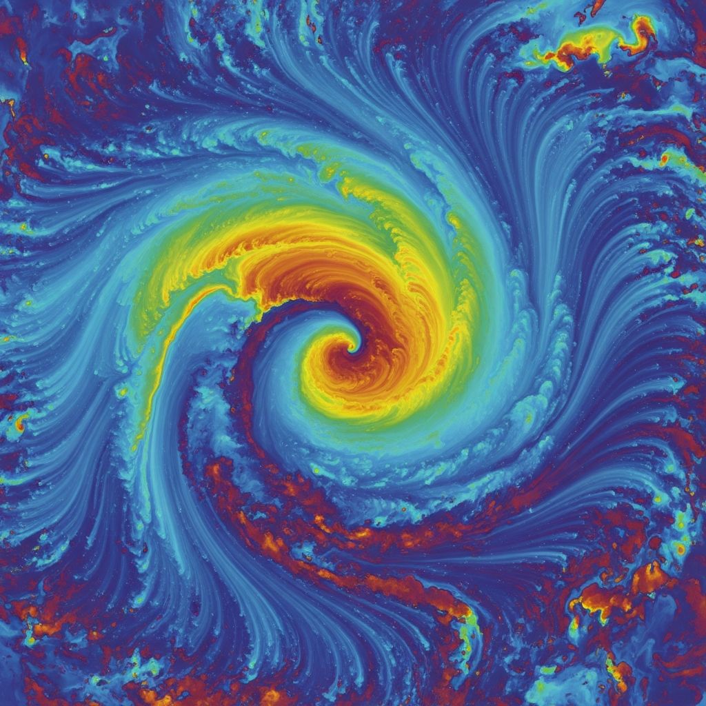
Wind represents the dynamic movement of air across Earth’s surface, driven primarily by uneven heating from the sun, atmospheric pressure gradients, and the planet’s rotation. These forces generate everything from gentle coastal breezes to powerful global wind systems that regulate climate and weather worldwide.
The Fundamental Causes of Wind Generation
At its core, wind arises from disparities in air temperature and density. Solar radiation heats the Earth’s surface unevenly: the equator receives intense direct sunlight, while the poles get less due to the planet’s curvature. This creates warm, rising air at the equator and cooler, sinking air at the poles, establishing global pressure differences that propel air masses.
Air moves from regions of high pressure (cooler, denser air) to low pressure (warmer, less dense air). The greater the pressure gradient, the stronger the wind. Local variations amplify this: land heats and cools faster than water, producing daily cycles like sea breezes during the day—when warm land air rises, drawing in cooler ocean air—and land breezes at night, as cooled land air sinks and flows seaward.
- Key Driver: Uneven solar heating leads to thermal expansion and contraction of air.
- Secondary Factor: Topography, such as mountains, channels air flow and intensifies local winds.
- Global Influence: Earth’s rotation deflects wind paths via the Coriolis effect.
Global Atmospheric Circulation: The Three-Cell Model
Earth’s atmosphere organizes into three large convection cells per hemisphere, forming predictable wind belts. In the tropics (0°-30° latitude), intense heat causes air to rise, creating a low-pressure zone near the equator known as the Intertropical Convergence Zone (ITCZ). This rising air cools, condenses, and produces heavy rainfall, while surface air from higher latitudes flows equatorward as trade winds.
Trade winds, or easterlies, blow from east to west due to the Coriolis effect deflecting them rightward in the Northern Hemisphere and leftward in the Southern. Between 30°-60° latitude, sinking air from aloft forms subtropical high-pressure belts, spawning westerly winds that dominate mid-latitudes. Polar regions (60°-90°) feature cold, dense high-pressure air flowing equatorward as polar easterlies.
| Wind Belt | Latitude Range | Direction (N. Hemisphere) | Key Characteristics |
|---|---|---|---|
| Trade Winds (Easterlies) | 0°-30° | NE to SW | Steady, reliable for historical sailing; drive ocean gyres. |
| Westerlies | 30°-60° | SW to NE | Variable, stormy; prevalent in storm tracks. |
| Polar Easterlies | 60°-90° | SE to NW | Cold, dry; meet westerlies forming polar fronts. |
These cells shift seasonally with the sun’s position, lagging slightly due to heat storage in land and oceans.
The Coriolis Effect: Why Winds Curve
Earth’s rotation imparts an apparent deflection to moving air masses, known as the Coriolis effect. In the Northern Hemisphere, winds veer right; in the Southern, they veer left. This prevents direct north-south flow, organizing winds into east-west belts.
For instance, equatorward trade winds curve into easterlies, while mid-latitude westerlies gain their dominant westward-to-eastward flow. Without this effect, global circulation would be simpler Hadley cells spanning pole to pole, but reality yields complex, latitudinal bands.
Local Wind Phenomena: Daily and Topographic Variations
Beyond planetary scales, local winds emerge from terrain and diurnal heating. Mountain-valley breezes mirror sea-land cycles: daytime upslope flow as valley air heats and rises, nighttime downslope as mountains cool faster.
Coastal areas experience pronounced sea breezes, enhancing afternoon thunderstorms. Katabatic winds rush downhill from cold plateaus, like Antarctica’s fierce gusts. Foehn winds, warmed by compression descending mountains, create dramatic dry, hot conditions on leeward sides, exemplifying orographic lift and rain shadows.
- Sea Breeze: Daytime onshore flow from cooler ocean to hotter land.
- Mountain Breeze: Nighttime downslope drainage of cold air.
- Orographic Effect: Winds forced upward by mountains, leading to precipitation on windward slopes.
Winds’ Profound Impacts on Climate and Weather
Winds redistribute heat and moisture, moderating global temperatures. Easterlies carry tropical warmth poleward via ocean currents they drive, like the Gulf Stream propelled by trade winds. They transport water vapor, fueling rain patterns—windward mountain slopes drench while leeward ‘rain shadows’ desiccate.
Polar fronts, where cold easterlies clash with westerlies, spawn cyclones and storms. Seasonal shifts, like monsoons, reverse winds to draw moist air inland, transforming climates. Winds disperse clouds, pollutants, and seeds, shaping ecosystems.
Erosive Power and Geomorphic Changes by Wind
Beyond atmosphere, winds sculpt landscapes through erosion and deposition. High-speed gusts abrade rocks, forming ventifacts and yardangs. In deserts, sandblasting carves mushroom rocks; loess deposits build fertile plains in China.
Wind erodes soil, exacerbating deserts via deflation—removal of fine particles—or creates dunes through saltation, where sand grains bounce and pile. These processes rival water in altering Earth’s surface over millennia.
Wind in Modern Contexts: Energy and Navigation
Understanding winds powers renewable energy: turbine sites target steady westerlies or coastal accelerations. Historically, trade winds enabled transoceanic trade, their predictability named by sailors. Today, meteorology forecasts use wind models for aviation, shipping, and severe weather warnings.
Climate change may intensify winds via amplified temperature gradients, boosting hurricanes and droughts.
Frequently Asked Questions (FAQs)
What causes wind to blow?
Wind blows due to pressure differences from uneven heating; air flows high to low pressure, deflected by Coriolis.
Why are winds named by direction of origin?
Convention names winds from where they come, e.g., northerly from north, aiding weather prediction.
How does Earth’s rotation affect winds?
Coriolis effect curves winds right (North) or left (South), forming trade winds and westerlies.
Do winds influence ocean currents?
Yes, surface winds drag water, creating gyres like the North Atlantic driven by westerlies and trades.
Can winds change with seasons?
Yes, circulation cells migrate with sun, shifting monsoon winds and jet streams.
Advanced Wind Measurement and Prediction
Anemometers quantify speed, wind vanes direction. Satellites and radars map upper winds, like jet streams—narrow, fast westerlies at 10-15 km altitude guiding storms. Numerical models simulate patterns, vital for renewable siting where speeds exceed 10 m/s.
Variability challenges: diurnal pulses, synoptic storms overlay planetary flow. Mountains funnel winds, coasts accelerate via friction contrasts.
References
- Wind – Students | Britannica Kids — Britannica. 2023. https://kids.britannica.com/students/article/wind/277759
- Wind – Understanding Global Change — UC Berkeley UGC. 2023. https://ugc.berkeley.edu/background-content/wind/
- Global Wind Patterns — FAU CES NASA. 2023. https://www.ces.fau.edu/nasa/content/resources/global-wind-patterns.php
- Wind explained — U.S. Energy Information Administration (EIA). 2024-01-12. https://www.eia.gov/energyexplained/wind/
- The Wind Resource — Princeton ACEE. 2019-04. https://acee.princeton.edu/wp-content/uploads/2019/04/AndlingerDistillate_Article3.pdf
- What is wind? — Royal Meteorological Society. 2023. https://www.rmets.org/metmatters/what-wind

Medha Deb is an editor with a master's degree in Applied Linguistics from the University of Hyderabad. She believes that her qualification has helped her develop a deep understanding of language and its application in various contexts. Medha specializes in the areas of beauty, health, sports, and wellness and is committed to ensuring that the content on the website is…