
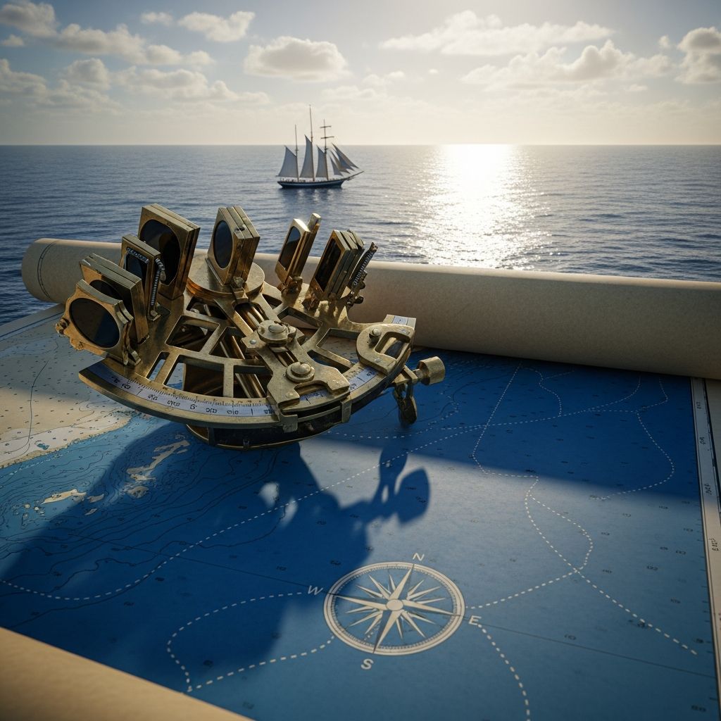
The Foundation of Modern Maritime Navigation: Understanding Nautical Miles
When navigators chart courses across vast oceans or pilots steer aircraft through international airspace, they rely on a measurement system fundamentally different from the miles used on land. The nautical mile represents a specialized unit of distance specifically designed for maritime and aerial navigation, deeply rooted in the Earth’s geographical dimensions. Unlike the statute mile that measures land-based distances, the nautical mile connects directly to our planet’s coordinate system, making it indispensable for accurate positioning and distance calculations across water and sky.
Defining the Nautical Mile: Measurement and Specifications
A nautical mile is defined as the length measured along Earth’s surface that corresponds to one minute of arc (1/60th of a degree) along a meridian—a line of longitude stretching from the North Pole to the South Pole. This geometric relationship means that 60 nautical miles equal one degree of latitude, creating a seamless integration between distance measurements and geographical coordinates. In practical metric terms, one nautical mile equals exactly 1,852 meters, or approximately 6,076 feet. This standardized measurement was officially adopted in 1929 during the First International Extraordinary Hydrographic Conference held in Monaco, establishing uniformity across international maritime operations.
Comparison to Land-Based Measurements
The nautical mile differs notably from the statute mile commonly used in terrestrial navigation and everyday life. One nautical mile equals approximately 1.15 statute miles or about 1.85 kilometers. This difference, while seemingly modest, becomes significant when calculating long distances across oceans. For example, a journey spanning 1,000 nautical miles equates to roughly 1,150 statute miles—a considerable variance for maritime planning and fuel calculations. The distinction exists because the nautical mile was engineered to align with Earth’s latitude and longitude measurements, whereas the statute mile evolved independently from terrestrial needs and historical conventions.
The Evolution of Maritime Distance Measurement
Ancient and Medieval Navigation Standards
The path toward modern nautical measurement stretches back through centuries of maritime history. Before standardization, seafarers employed various distance units that lacked consistency and precision. The ancient Mediterranean mile, with an obscure origin possibly attributed to Greek civilization, measured 4,035.42 United States feet. Similarly, the Roman mile of 4,858.59 feet—defined as 1,000 paces according to military standards—dominated European navigation for centuries. During the Middle Ages, another unit called the league saw widespread use, varying significantly from 2.4 to 4.6 nautical miles depending on regional practices. These inconsistent standards created navigational challenges, as different maritime cultures interpreted distances differently.
When Christopher Columbus embarked on his historic voyages to the New World, he navigated using the Italian legua of approximately 3.18 modern nautical miles. The contemporary understanding of Earth’s size during this era was substantially inaccurate. Scholars of Columbus’s time believed that approximately 56⅔ Roman miles—roughly 45.3 nautical miles—comprised one degree of latitude. In reality, this estimation fell about 32 percent short of the actual distance, leading to significant errors in voyage planning and geographical calculations.
The Transition Toward Standardization
The fundamental shift toward the modern nautical mile occurred gradually during the 16th and 17th centuries. Initially, 60 Roman miles of 4,858.59 feet were considered equivalent to one degree of latitude. However, as scientific measurements of Earth’s dimensions improved through more accurate surveys, discrepancies became apparent. Navigation scholars faced two approaches: either maintain the traditional mile’s length while increasing the number of units per degree, or logically divide the 60-minute degree into 60 miles of proportionally greater length. Many maritime nations gradually adopted the latter approach, extending traditional mile lengths to better correspond with actual geographical measurements.
The formal distinction between nautical and land miles emerged during the 17th century, particularly following Edmund Norwood’s measurements of an arc of the meridian. Norwood initially proposed establishing the nautical mile at 6,120 feet, later adjusting it to 6,000 feet to maintain a navigational tradition that ships’ reckonings would consistently overestimate distances, preventing unexpected encounters with uncharted hazards. Seamen gradually embraced this longer mile, though it remained unnamed until the term “nautical mile” first appeared in written maritime literature around 1730. Meanwhile, the land-based statute mile evolved differently, eventually standardized at 5,280 feet in Britain and similar measurements elsewhere, creating the permanent divergence between maritime and terrestrial distance units.
The Speed Connection: Nautical Miles and Knots
Understanding the relationship between nautical miles and knots proves essential for maritime professionals. When a ship or aircraft travels at one nautical mile per hour, its speed is expressed as one knot. This direct correlation simplifies velocity calculations for maritime operations. If a vessel maintains a speed of 20 knots, it travels 20 nautical miles in one hour. The term “knot” itself derives from historical practical navigation methods where sailors threw knotted ropes overboard and counted how many knots passed during a measured time interval, directly correlating rope knots to distance traveled.
Modern navigation systems—whether radar, GPS, or electronic chart displays—typically present speeds in knots and distances in nautical miles, maintaining this century-old integration. This interconnected system eliminates confusion and mathematical conversion errors during critical maritime operations. A pilot flying at 450 knots covers 450 nautical miles hourly, and a captain maintaining 15 knots traverses 15 nautical miles per hour. This seamless relationship between distance measurement and speed expression remains one of the most elegant aspects of maritime terminology.
International Standardization and Modern Adoption
The 1929 International Standard
Despite varied regional practices throughout the 19th and early 20th centuries, the international maritime community recognized the urgent need for universal standardization. Different nations maintained slightly different nautical mile definitions, creating potential confusion and errors in international maritime operations. The breakthrough came in 1929 when the First International Extraordinary Hydrographic Conference in Monaco officially established the international nautical mile at exactly 1,852 meters (6,076.1 feet). This definition, based on scientific measurements of Earth’s dimensions, provided the precision necessary for modern navigation and international cooperation.
National Implementation Variations
Despite the 1929 international agreement, full global adoption proceeded gradually. The United States initially resisted complete uniformity, continuing to use its national definition based on 6,080.2 feet until 1954. The United Kingdom similarly maintained its own standard until adopting the international measurement in 1970. These delayed transitions reflected practical considerations—converting existing nautical charts, updating training materials, and recalibrating navigational instruments required substantial resources and coordination. Eventually, all major maritime nations converged on the 1,852-meter standard, establishing genuine uniformity in international maritime navigation.
Symbolic Representation
While the numerical value of the nautical mile achieved international agreement, its symbolic representation never achieved complete standardization. Multiple symbols remain in use: M, NM, Nm, and nmi all denote nautical miles in various contexts and regions. Additionally, the nautical mile exists outside the International System of Units (SI), maintaining status as a specialized unit recognized for maritime and aeronautical applications but not formally integrated into the broader metric system. This unique position reflects its specialized maritime heritage rather than representing a limitation on its utility or acceptance.
Practical Applications in Modern Navigation
Maritime Operations
Every commercial vessel, fishing boat, and naval ship utilizes nautical miles for distance calculations and voyage planning. Electronic navigation systems display positions as latitude and longitude coordinates, making the nautical mile—defined as one minute of arc—the natural and efficient measurement unit. Voyage planning software calculates great circle routes in nautical miles, optimizing fuel consumption and transit times. Harbor pilots navigate approaches using nautical mile markers, and collision avoidance regulations specify safety distances in nautical miles. The entire infrastructure of modern maritime commerce depends fundamentally on this measurement unit.
Aviation Navigation
Aircraft operate under the same navigational framework as maritime vessels. Pilots file flight plans specifying distances in nautical miles, and air traffic controllers communicate separation distances and approach vectors using nautical mile increments. Aviation charts display magnetic variation, wind vectors, and navigation waypoints using latitude and longitude coordinates, making the nautical mile the logical measurement standard. International aviation regulations, coordinated through the International Civil Aviation Organization, universally employ nautical miles and knots for speed measurements, ensuring consistency across all world airspace.
Territorial and Legal Boundaries
Beyond pure navigation, the nautical mile defines international legal boundaries. Under United Nations convention, each coastal nation’s sovereignty extends over territorial waters limited to 12 nautical miles from its coast. This measure provides the framework for maritime law, fishery rights, and international maritime boundaries. The nautical mile thus serves not merely as a navigation tool but as a fundamental unit underlying international maritime law and geopolitical boundaries.
Conversion Reference Guide
| Measurement | Equivalent Value |
|---|---|
| 1 Nautical Mile | 1,852 meters |
| 1 Nautical Mile | 6,076 feet |
| 1 Nautical Mile | 1.15 statute miles |
| 1 Nautical Mile | 1.85 kilometers |
| 60 Nautical Miles | 1 degree of latitude |
| 1 Knot | 1 nautical mile per hour |
Key Characteristics and Distinctions
- Geographical Integration: The nautical mile directly corresponds to Earth’s coordinate system, with one minute of arc latitude equaling precisely one nautical mile, creating seamless integration between distance and position measurements.
- International Standardization: Unlike various national statute mile definitions that evolved independently, the nautical mile achieved formal international standardization in 1929, ensuring consistent maritime operations across all nations and oceans.
- Maritime and Aviation Use: The nautical mile serves as the universal standard for both maritime and aeronautical navigation, establishing consistency between sea and air operations despite these sectors’ different technical requirements.
- Speed Integration: The knot unit—representing one nautical mile per hour—creates an elegant system where distance measurement and speed expression connect naturally without mathematical conversion.
- Legal Framework: The nautical mile defines international maritime boundaries, territorial waters, and exclusive economic zones, giving it legal significance beyond pure navigation applications.
- Non-SI Status: Despite its universal acceptance in maritime and aviation contexts, the nautical mile remains outside the International System of Units, maintaining its specialized status within marine and air transportation.
Common Questions About Nautical Miles
Q: Why don’t maritime operations use kilometers instead of nautical miles?
A: Nautical miles integrate directly with latitude and longitude coordinates, where one minute of arc equals one nautical mile. This creates automatic conversion between position and distance without mathematical calculations. Kilometers would require constant conversions between geographic coordinates and distance measurements, introducing unnecessary complexity and potential navigation errors. The nautical mile’s geometric relationship to Earth’s coordinate system makes it fundamentally more practical for maritime and aviation operations than the metric kilometer.
Q: How many statute miles equal 100 nautical miles?
A: Since one nautical mile equals approximately 1.15 statute miles, 100 nautical miles equal roughly 115 statute miles. For precise calculations: 100 × 1.1508 = 115.08 statute miles. This conversion matters for maritime professionals working across international borders or communicating with land-based systems using statute mile measurements.
Q: What’s the difference between a nautical mile and a knot?
A: A nautical mile measures distance, while a knot measures speed. One knot specifically means traveling one nautical mile in one hour. If a ship moves at 20 knots, it covers 20 nautical miles per hour. The two units are inherently linked: knowing something travels at X knots immediately indicates it covers X nautical miles hourly.
Q: Why was the nautical mile standardized at exactly 1,852 meters?
A: The 1,852-meter standard reflects scientific measurements of Earth’s dimensions made before the 1929 international conference. This value represents one minute of arc along Earth’s meridian based on accepted geodetic measurements of that era. The conference participants adopted this figure to unify previously varying national definitions while maintaining consistency with geographic and astronomical measurements.
Q: Do commercial airlines use nautical miles?
A: Yes, all commercial aviation operates using nautical miles for distance and knots for speed. Flight plans, air traffic control instructions, and aviation charts universally employ nautical miles. This consistency ensures seamless international flight operations and prevents confusion when aircraft transition between different airspace jurisdictions.
References
- Nautical Mile | Definition, Measurement, Usage, Conversion to… — Britannica. Accessed 2026-04-05. https://www.britannica.com/science/nautical-mile
- The Nautical Mile | Proceedings — United States Naval Institute, November 1949. https://www.usni.org/magazines/proceedings/1949/november/nautical-mile
- What is the difference between a nautical mile and a knot? — National Oceanic and Atmospheric Administration (NOAA) Ocean Service. https://oceanservice.noaa.gov/facts/nautical-mile-knot.html
- What Is a Nautical Mile? — ForeSmart. https://www.foresmart.com/what-is-a-nautical-mile/
- The Story of the Nautical Mile — Sailing Awen. https://www.sailingawen.com/The-Story-of-the-Nautical-Mile-c7d51fe241b7415cbed2603d7ea5ee49

Medha Deb is an editor with a master's degree in Applied Linguistics from the University of Hyderabad. She believes that her qualification has helped her develop a deep understanding of language and its application in various contexts. Medha specializes in the areas of beauty, health, sports, and wellness and is committed to ensuring that the content on the website is…