
Defining the Atlas: More Than Just a Book of Maps
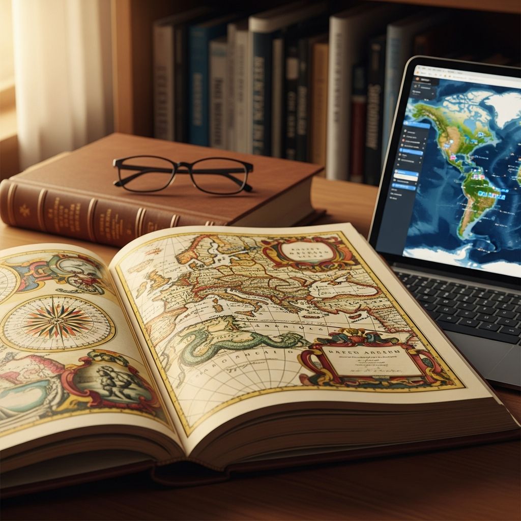
An **atlas** represents far more than a simple compilation of geographic depictions bound together. At its core, an atlas is a systematic collection of cartographic representations that can encompass specific nations, regions, or the entire terrestrial sphere. Historically, these collections have been bound into physical book formats, though contemporary atlases increasingly exist in digital and multimedia formats accessible through various technological platforms.
The fundamental purpose of an atlas extends beyond merely presenting geographical features and political demarcations. Modern atlases frequently incorporate geopolitical information, demographic statistics, economic data, religious distributions, and social indicators that provide comprehensive contextual understanding of the regions being illustrated. The maps within an atlas typically maintain uniform formatting conventions, though they may employ varying scales to accommodate geographical areas of significantly different dimensions.
What distinguishes an atlas from other cartographic works is its systematic approach to organization and comprehensive coverage. Rather than presenting isolated maps, an atlas creates a cohesive collection where individual maps relate to one another, forming an interconnected resource for exploration and discovery. This organizational structure allows users to understand not only individual geographic features but also their relationships within broader spatial contexts.
The Mythological Origins and Etymology of the Term
The nomenclature of the atlas carries profound historical and mythological significance. The term derives from classical Greek mythology, specifically referencing Atlas, a Titan of immense strength who was condemned by Zeus to support the heavens upon his shoulders for eternity as punishment for his rebellion against the divine order. This mythological imagery became the symbolic foundation for naming cartographic collections.
The connection between the mythological figure and cartographic works emerged during the Renaissance period. Early cartographers, particularly during the sixteenth century, adopted this naming convention after observing decorative illustrations of Atlas bearing a celestial globe adorning the title pages and covers of their map collections. These artistic representations provided a visual metaphor for the comprehensive weight of geographical knowledge contained within the volumes. By the late sixteenth century, the term “atlas” had become standardized nomenclature for describing any bound collection of maps, and this convention has persisted through subsequent centuries into the present era.
Beyond its cartographic application, the term atlas has acquired broader metaphorical meaning in English usage, often describing any individual or entity that bears a substantial burden or serves as a foundational support structure for others.
Historical Development and Evolution of Cartographic Collections
The history of atlases represents a fascinating chronicle of human geographic understanding and technological advancement. While isolated maps existed throughout medieval and ancient periods, the formal development of atlases as organized collections began during the Renaissance, a period marked by renewed intellectual curiosity and geographic exploration.
The pioneering work in atlas development occurred in 1570 when Abraham Ortelius, a Flemish cartographer from present-day Belgium, produced what is widely recognized as the first comprehensive modern atlas. His groundbreaking compilation, the “Theatrum Orbis Terrarum” (Theatre of the World), represented a revolutionary approach to organizing and presenting geographic information. This ambitious work contained detailed maps of various regions and established conventions for cartographic presentation that would influence atlas production for generations.
Following Ortelius’s achievements, Gerardus Mercator, another renowned Flemish cartographer working in the sixteenth century, significantly advanced atlas development. Mercator created collections of maps and introduced his revolutionary map projection technique, which revolutionized maritime navigation and geographic representation. His innovations provided practical advantages for navigation while establishing aesthetic and organizational standards for atlases.
The subsequent centuries witnessed continuous refinement and expansion of atlas production. Publishers developed increasingly specialized collections targeting specific geographic regions, particular themes, or specialized academic disciplines. As printing technology advanced and geographic knowledge expanded through exploration and scientific discovery, atlases became more detailed, comprehensive, and accessible to broader audiences.
Diverse Categories and Specialized Applications
Contemporary atlases encompass remarkable diversity in both scope and specialization. Understanding the various categories helps users identify appropriate resources for specific informational needs.
Reference Atlases and General Collections
Reference atlases represent the most commonly encountered category of atlas publications. These substantial, large-format volumes provide extensive geographic information presented through detailed maps, supplemented by tables, images, textual descriptions, and comprehensive indices. Reference atlases typically focus on specific geographic entities such as continents, nations, or regions, offering readers thorough familiarity with territorial features, political boundaries, and relevant contextual information. Many reference atlases incorporate facts, figures, and infographics that enhance understanding beyond pure cartographic representation.
Thematic and Specialized Atlases
Beyond general geographic reference materials, specialized atlases focus on particular subjects or domains of knowledge:
- Historical Atlases present maps from different temporal periods, illustrating geographic and political transformations across centuries. These collections often accompany maps with chronological narratives, explaining significant historical events and their territorial consequences.
- Anatomical Atlases provide detailed visual representations of human bodily structures, systems, and physiological components. These specialized references serve medical professionals, students, and others requiring precise anatomical understanding.
- Celestial Atlases map the positions of celestial bodies, documenting stars, planets, constellations, and other astronomical phenomena. These resources facilitate astronomical observation and cosmological study.
- Thematic Atlases address specific subjects such as climate patterns, agricultural distributions, linguistic regions, religious demographics, or economic activities. These focused collections illuminate particular aspects of geographic or cultural reality.
- Fictional World Atlases depict imaginary landscapes, environments, and territories from literature, fantasy, or entertainment media, appealing to enthusiasts of specific fictional universes.
Practical Travel and Navigation Atlases
Portable atlases serve practical navigation purposes for travelers and adventurers. Road atlases provide street-level detail for vehicle navigation, while compact atlases offer essential geographic orientation in convenient formats suitable for transportation and field use. These practical resources emphasize accessibility and portability over comprehensive detail.
Structural Components and Navigation Elements
Effective atlases incorporate several organizational and navigational elements that facilitate user accessibility and information retrieval:
Tables of Contents and Indices
Comprehensive atlases include detailed tables of contents organizing maps by geographic region, theme, or subject classification. Thorough indices enable users to locate specific geographic features, place names, or topics rapidly. These organizational tools transform atlases from sequential reading materials into reference resources supporting targeted information retrieval.
Map Keys and Legends
The map key, or legend, serves as an essential interpretive tool for understanding cartographic symbols, colors, and notational conventions employed throughout the atlas. Without proper interpretation of these visual codes, maps remain incomprehensible. Legends typically explain color gradations, symbol meanings, line types, and other visual elements that convey geographic information.
Supplementary Information
Modern atlases frequently incorporate extensive supplementary materials including geographic facts, demographic statistics, economic data, cultural information, and historical context. These additions transform atlases from purely visual resources into comprehensive information sources providing multidimensional understanding of represented territories.
Physical Versus Digital Evolution
While atlases have traditionally been produced as bound physical volumes requiring reading stands for support, contemporary technology has revolutionized atlas accessibility and format. Digital atlases now exist in multiple formats including interactive websites, mobile applications, multimedia databases, and cloud-based platforms. These digital alternatives offer advantages including searchability, real-time updates, multimedia integration, and accessibility from multiple devices.
The transition toward digital atlases reflects broader technological shifts in information consumption and distribution. However, physical atlases retain value for specific applications, offering superior navigational experience without technological dependencies and providing tactile engagement with geographic information. Many users and institutions maintain both physical and digital atlas collections, recognizing complementary advantages of each format.
The Expanding Scope of Cartographic Collections
Contemporary atlas development has expanded beyond traditional geographic representation. Advances in astronomical observation have spawned detailed celestial atlases mapping distant galaxies, stellar configurations, and planetary systems. Satellite technology has enabled unprecedented cartographic precision, while scientific progress has fostered development of specialized atlases depicting phenomena ranging from ocean currents to atmospheric patterns to seismic activity.
Additionally, atlases now frequently transcend purely spatial representation to encompass temporal dimensions. Historical atlases explicitly integrate time as an analytical dimension, demonstrating how geographic, political, and cultural realities transform across centuries. This spatiotemporal integration provides sophisticated understanding of how local and global processes intersect and evolve.
Atlas Applications in Education and Research
Atlases serve indispensable functions in educational contexts spanning elementary through advanced academic levels. Students utilize atlases for geography instruction, providing visual reference for understanding continental positioning, national boundaries, mountain ranges, river systems, and climate zones. Atlases support comprehension of historical events by illustrating territorial contexts and geopolitical configurations during specific periods.
In research applications, atlases facilitate analysis of geographic patterns, distribution of natural resources, demographic characteristics, and spatial relationships among phenomena. Scholars employ specialized atlases addressing specific disciplines including environmental science, economics, anthropology, and history. The systematic organization and visual presentation of complex geographic information enables researchers to identify patterns and generate hypotheses about spatial phenomena.
Selecting Appropriate Atlases for Specific Needs
Different situations and purposes require different atlas types. Travelers and navigators benefit from practical road atlases emphasizing street-level detail and transportation routes. Students and educators appreciate general reference atlases providing comprehensive geographic context and supplementary information. Specialists in particular fields require thematic atlases addressing their specific disciplinary interests and research questions. Digital atlases offer advantages when frequent updates, extensive searchability, or multimedia integration enhance user experience.
Common Questions About Atlases
Q: What distinguishes an atlas from a single map?
A: An atlas represents a systematic collection of multiple related maps organized for comprehensive geographic coverage, whereas a single map depicts one specific geographic area or phenomenon. Atlases provide contextual relationship among individual maps through organizational structure, supplementary information, and cross-referencing systems.
Q: Can atlases exist in digital format?
A: Yes, contemporary atlases increasingly exist in digital formats including interactive websites, mobile applications, and multimedia databases. Digital atlases offer advantages including searchability, real-time updates, multimedia content, and multi-device accessibility, though physical atlases remain valuable for certain applications.
Q: What information do atlases contain beyond maps?
A: Modern atlases frequently incorporate geopolitical information, demographic statistics, economic data, religious distributions, historical context, cultural information, and supplementary facts about featured regions. These additions transform atlases into comprehensive reference materials providing multidimensional understanding.
Q: Who uses atlases in contemporary society?
A: Atlases serve diverse users including students and educators, travelers and navigators, researchers and scholars, professionals in fields requiring geographic understanding, and general knowledge seekers. Digital accessibility has expanded atlas usage among online users pursuing geographic information.
Q: How have technological advances influenced atlas development?
A: Technology has revolutionized atlas production through satellite imagery enabling unprecedented cartographic precision, digital formats allowing interactive exploration and real-time updates, and multimedia integration incorporating video, audio, and dynamic content. These advances have expanded atlas scope and accessibility while maintaining traditional organizational principles.
References
- Atlas Definition & Meaning — Dictionary.com. Accessed 2026. https://www.dictionary.com/browse/atlas
- Atlas — Wikipedia. Accessed 2026. https://en.wikipedia.org/wiki/Atlas
- Atlas | Geography and Cartography — EBSCO Research Starters. Accessed 2026. https://www.ebsco.com/research-starters/geography-and-cartography/atlas
- ATLAS Definition & Meaning — Merriam-Webster Dictionary. Accessed 2026. https://www.merriam-webster.com/dictionary/atlas
- Atlas – Kids | Britannica Kids | Homework Help — Britannica. Accessed 2026. https://kids.britannica.com/kids/article/atlas/390782
- What is An Atlas? — Mapping Edges. Accessed 2026. https://www.mappingedges.org/news/what-is-an-atlas/

- Integrated M.A. in Applied Linguistics, University of Hyderabad
- 5+ years in editorial, instructional, SEO, and research-based writing
Sneha is a relationships and lifestyle writer with a strong foundation in applied linguistics and certified training in relationship coaching. She brings over five years of writing experience to theskillvault, crafting thoughtful, research-driven content that empowers readers to build healthier relationships, boost emotional well-being, and embrace holistic living. Her writing and insights reflect the belief that beauty, happiness, and wellness…