
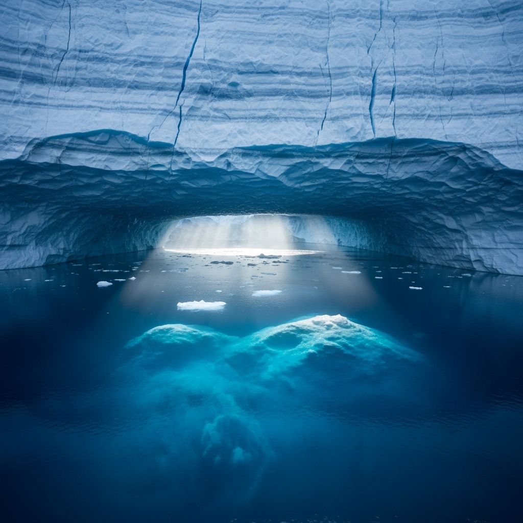
The Antarctic ice sheet, the largest single mass of ice on Earth, covers over 5.4 million square miles and holds about 60% of the planet’s fresh water. Beneath this frozen expanse lies a largely unexplored world of dramatic topography, ancient water bodies, and geological wonders that challenge our understanding of Earth’s dynamic processes. Recent advancements in satellite technology and geophysical modeling have peeled back layers of ice to reveal mountains taller than the Alps, canyons deeper than the Grand Canyon, and vast networks of subglacial rivers.
Revolutionary Mapping Techniques Expose the Subglacial Realm
Traditionally, scientists relied on radar-equipped aircraft and ground-penetrating surveys to glimpse Antarctica’s bedrock, but these methods provided patchy data separated by vast distances. A breakthrough study published in Science introduced the Input minus Flowline mass-conserved (IFPA) method, combining high-resolution satellite imagery of ice surface elevation, ice thickness data, and physics-based ice flow models to generate the most detailed continent-wide map of the subglacial landscape yet.
This innovative approach resolves features from 1.2 to 18.6 miles (2 to 30 kilometers) across, uncovering approximately 72,000 subglacial hills, alpine valleys, eroded lowlands, and extensive channel networks formed by ancient flowing water. Lead researcher Helen Ockenden from the University of Grenoble-Alpes described it as upgrading from a ‘grainy pixel film camera’ to a ‘properly zoomed-in digital image.’ These revelations show we know less about Antarctica’s subsurface than Mercury’s surface, highlighting the continent’s enduring mysteries.
Majestic Mountain Ranges and Towering Peaks
Antarctica’s bedrock harbors mountain systems that rival those elsewhere on Earth. Gamburtsev Mountains in East Antarctica, buried under up to 3 miles of ice, feature peaks exceeding 10,000 feet—comparable to the European Alps. Formed over 1 billion years ago, these ranges were sculpted by tectonic forces before the ice sheet engulfed them around 34 million years ago.
Recent mappings confirm rugged highlands with sharp transitions suggesting tectonic plate boundaries. These elevated terrains act as natural anchors, stabilizing overlying ice and influencing glacier flow patterns. In West Antarctica, the Ellsworth Mountains pierce nearly to the surface, with some peaks rising above the ice.
- Gamburtsev Mountains: Ancient range preserved intact under ice, key to studying pre-glacial tectonics.
- Transantarctic Mountains: Divide East and West Antarctica, spanning 2,000 miles with peaks up to 14,856 feet.
- Newly Mapped Highlands: Tectonic scarps indicating past continental collisions.
Deepest Canyons and Vast Valley Systems
Among the most stunning discoveries is the Denman Canyon in East Antarctica, plunging 11,500 feet (3.5 kilometers) below sea level—deeper than the Grand Canyon and the lowest land point on Earth not underwater. This massive trough beneath the Denman Glacier measures over 60 miles long and could channel unstable ice flows toward the ocean.
Subglacial valleys crisscross the continent, many carved by pre-ice-sheet rivers. Airborne radar has revealed rolling hills, riverbeds, and basins frozen in time. These features create ‘sticky spots’ where ice adheres to rough bedrock, slowing flow, or ‘slide zones’ over smoother terrain that accelerate it.
| Feature | Location | Depth/Height | Significance |
|---|---|---|---|
| Denman Canyon | East Antarctica | 11,500 ft deep | Influences ice stability and sea-level rise |
| Foundation Trough | West Antarctica | 8,200 ft deep | Potential marine ice sheet instability |
| Gamburtsev Peaks | East Antarctica | 10,000+ ft high | Ancient tectonic archive |
Subglacial Lakes: Liquid Worlds in Eternal Darkness
Dozens of subglacial lakes dot Antarctica’s bedrock, sustained by geothermal heat, ice pressure, and friction. Lake Vostok, the largest and most famous, spans 140 miles long and lies 4 kilometers beneath Vostok Station. Isolated for up to 15-25 million years, it harbors microbes adapted to extreme conditions, offering insights into life’s potential on icy moons like Europa.
Over 400 lakes have been identified, some interconnected by rivers spanning hundreds of miles. Water temperatures hover near freezing (-3°C), enabled by pressure lowering ice’s melting point and underlying geothermal vents. Recent drone missions revealed teardrop-shaped structures under glaciers, influenced by the Coriolis effect from Earth’s rotation, indicating active hydraulic systems.
- Lake Vostok: 15M+ years old, drilled in 2012 yielding microbial DNA.
- Lake Whillans: Accessed in 2013, teeming with bacteria.
- Active Lakes: Periodic outbursts reshape ice surface above.
Dynamic Rivers and Hydrological Networks
Beneath the ice, rivers carve channels hundreds of miles long, fed by melting at lake interfaces and basal friction. These systems transport sediment and influence ice dynamics—fast-flowing water lubricates bedrock, hastening glacier advance.
Satellite data shows surface undulations from subglacial floods, with water volumes rivaling the world’s largest rivers. Such networks could accelerate ice loss as climate warms, contributing to sea-level rise.
Volcanic Oases and Warm Caverns
Antarctica hosts over 130 volcanoes, some active under the ice. Mt. Erebus erupts continuously, while subglacial activity at Mt. Sidley creates steam-carved ice caves reaching 77°F (25°C)—warm enough for T-shirts despite surface -128°F extremes.
These geothermal hotspots form oases potentially hosting unique ecosystems. Blood Falls, an iron-rich outflow from a subglacial lake, stains Taylor Glacier red, evidencing ancient saline reservoirs.
Implications for Climate Science and Sea-Level Rise
Understanding bedrock topography refines ice sheet models, predicting melt rates amid global warming. Rough terrain slows ice; smooth basins speed it, potentially raising seas 58 meters if fully melted. Subglacial hydrology modulates this: lubrication accelerates flow, while freezing stabilizes.
These maps aid forecasts of Antarctic contributions to sea-level rise, critical as ice shelves like Thwaites (‘Doomsday Glacier’) show accelerating instability linked to underlying troughs.
Life in the Dark: Astrobiological Frontiers
Subglacial environments mimic extraterrestrial habitats. Microbes in Lake Whillans thrive without sunlight, using chemical energy. Discoveries suggest life’s resilience, informing searches on Enceladus and Europa.
Frequently Asked Questions (FAQs)
What is the deepest point beneath Antarctic ice?
The Denman Canyon reaches 11,500 feet below sea level, deeper than any known land canyon.
Are there active volcanoes under the ice?
Yes, over 130, including subglacial ones creating warm caves and potential ecosystems.
How do scientists map under the ice?
Using satellite data, ice thickness measurements, and flow models like IFPA for high-resolution topography.
Could subglacial lakes hold alien life?
No Earth aliens, but extremophiles there parallel life on icy moons.
Does bedrock affect sea-level rise?
Yes, valleys channel faster ice flow, heightening melt risks.
References
- Scientists Uncover Secret Landscape Hiding Miles Below Antarctica’s Ice — Futurism. 2026 (approx., recent study). https://futurism.com/science-energy/hidden-landscape-antarctica-ice
- New map of Antarctica reveals hidden world of lakes, valleys and mountains — Live Science. 2026-01-15. https://www.livescience.com/planet-earth/new-map-of-antarctica-reveals-hidden-world-of-lakes-valleys-and-mountains-buried-beneath-miles-of-ice
- It vanished after filming 400 meters of strange structures under the ice — Futura Sciences. Recent. https://www.futura-sciences.com/en/it-vanished-after-filming-400-meters-of-strange-structures-under-the-ice-what-antarctica-is-hiding-stuns-scientists_21633/
- Scientists Stunned To Discover What’s Hidden Under The Ice In Antarctica — YouTube (RealLifeLore). Recent. https://www.youtube.com/watch?v=PIEuhTM8u6U
- We Finally Know What’s Buried Under Antarctica — YouTube. Recent. https://www.youtube.com/watch?v=5WGSa1e2qo4
- What’s Hidden Under the Ice of Antarctica? — YouTube (RealLifeLore). Recent. https://www.youtube.com/watch?v=KOnB47PyZJw

Medha Deb is an editor with a master's degree in Applied Linguistics from the University of Hyderabad. She believes that her qualification has helped her develop a deep understanding of language and its application in various contexts. Medha specializes in the areas of beauty, health, sports, and wellness and is committed to ensuring that the content on the website is…